

Back to futurelearn
Topic 4D - Monitoring Marine Life
Featured Images and Example Data

Reciprocol Ranking Technique
Ensemble technique used to determine the pelagic fish species
©
Georgios Sylaios/Odyssea/Democritus University of Thrace
Source Link
Fish species
From top - left to bottom - right the species are: Engraulis encrasicolus , Sardina pilchardus , Sardinella aurita , Scomber colias , Scomber scombrus , Spicara smaris , Thunnus thynnus , Xiphias gladius
©
Georgios Sylaios/Odyssea/Democritus University of Thrace
Source Link
Habitat Maps
High resolution produced habitat maps depicting the probability of occurrence in the whole Mediterranean Sean for the eight commercial fish species
©
Georgios Sylaios/Odyssea/Democritus University of Thrace
Source Link
Jellyfish density
Maps of the forecasted risk of jellyfish outbreak between the 8th and the 10th of July 2020 for Ashkelon, Israel
©
AquaX
Source LinkFeatured Video and Animations
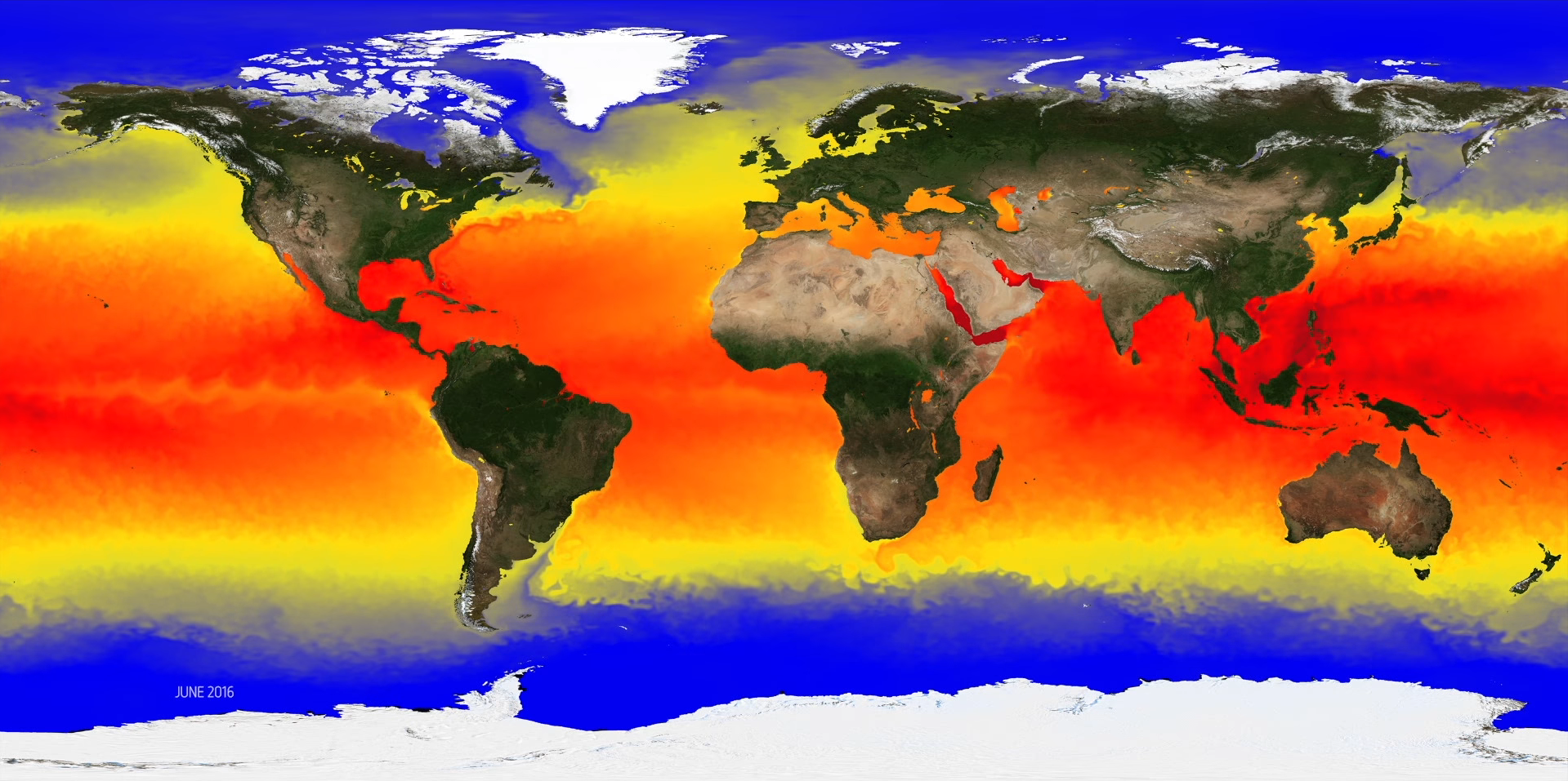
A year of sea surface temperature - 2016
In this video, Anne O'Carroll, Remote Sensing Scientist at EUMETSAT, takes us on a journey around the globe covering the most significant sea surface temperature events during 2016, using data supplied by Europe's Copernicus Earth Observation programme, which incorporates observations from EUMETSAT's satellite fleet.
©
EUMETSAT
Source Link
Iberian Biscay Ireland Regional Seas - Biogeochemistry Model
This video shows a biogeochemistry Model of Chlorophyll Concentration, with outputs interpolated every 6 hours for 2014
©
Copernicus Marine Service
Source Link
Sign up to our newsletter to get updates from Imperative MOOCs
Thank you! Your submission has been received!
Oops! Something went wrong while submitting the form.