

Back to futurelearn
Topic 4H - Using Copernicus data and machine learning to monitor Marine Protected Areas
Featured Images and Example Data
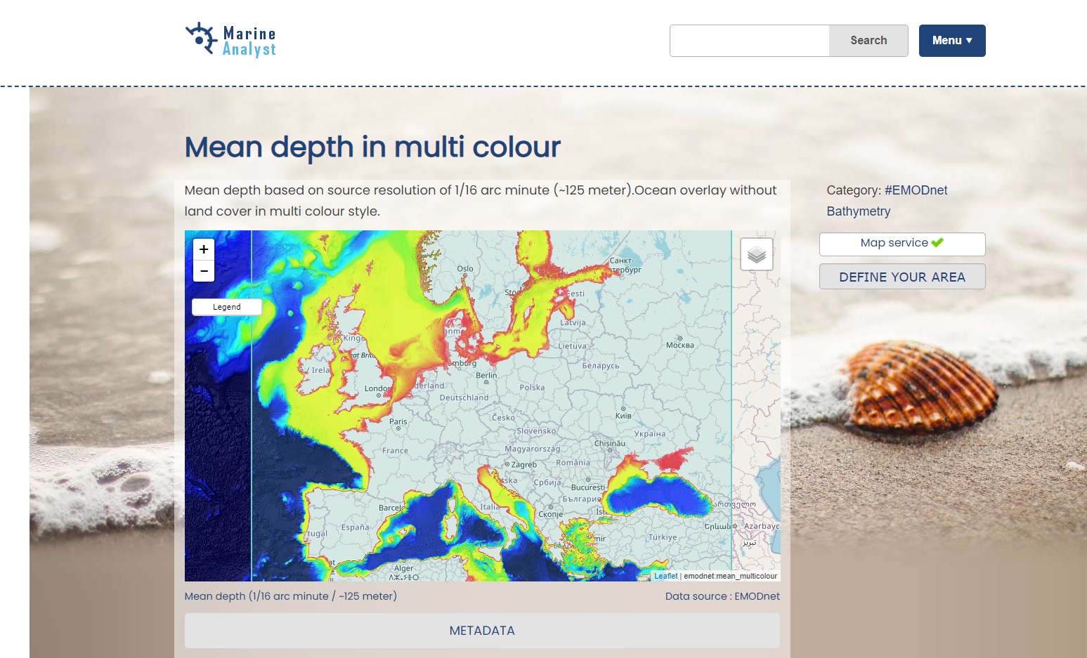
Marine Analyst Platform
Screenshot of the Marine Analyst platform showing ocean mean depth in multi colour around Europe
©
Marine Analyst 2021
Source Link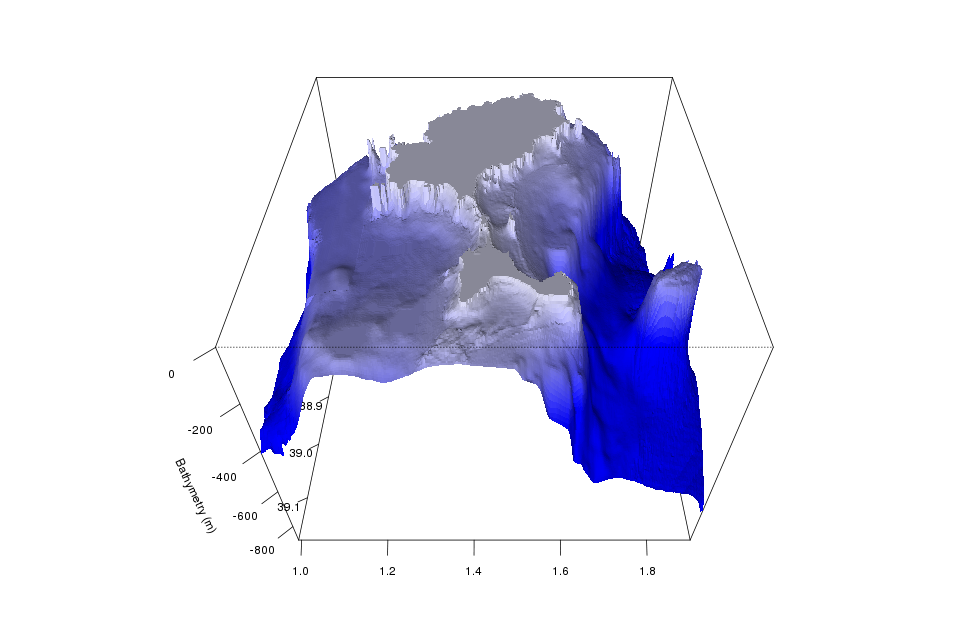
Marine Bathymetry
Example of marine bathymetry mapped out in 3D. Bathymetry is the depth of the ocean floor
©
Pascal Derycke / Marine Analyst
Source Link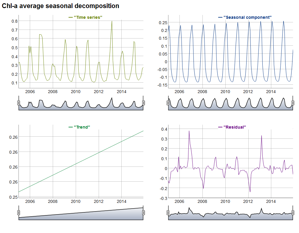
Chlorophyll-a average seasonal decomposition
Example of Chlorophyll-a average seasonal decomposition data timeseries from 2006-2014
©
Pascal Derycke / Marine Analyst
Source LinkFeatured Video and Animations
No items found.

Sign up to our newsletter to get updates from Imperative MOOCs
Thank you! Your submission has been received!
Oops! Something went wrong while submitting the form.