
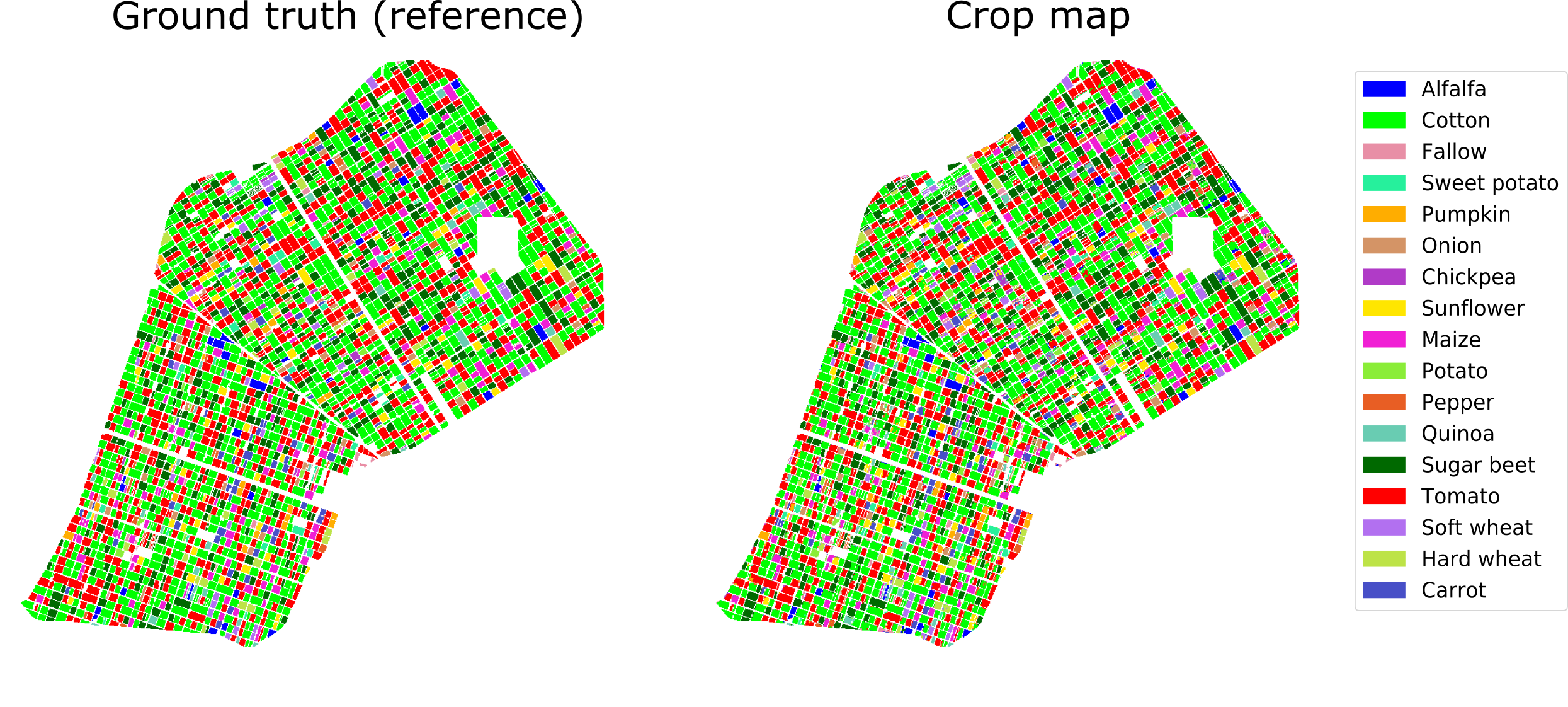
Crop-type map
This is an example of crop-type mapping using Sentinel-1 satellite imagery
Ground truth data: Regional Government of Andalusia. Crop map: contains modified Copernicus Sentinel data (2017), processed by University of Alicante
Image sourceBack to topic

Sign up to our newsletter to get updates from Imperative MOOCs
Thank you! Your submission has been received!
Oops! Something went wrong while submitting the form.