
Topic 1D – AI and Machine Learning in the Copernicus Programme
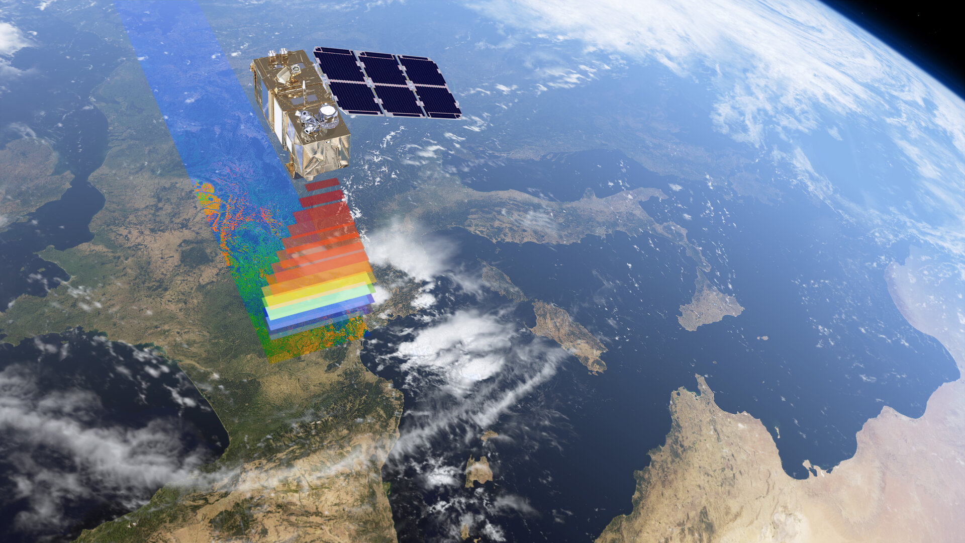
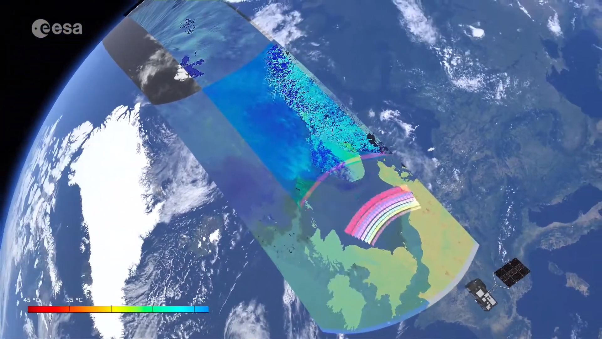
As one of the largest Earth observation data providers, the Copernicus archives contain a massive amount of data and information that can play a decisive role for policy support in many economic and industrial areas.
Bringing in AI technology at the scale of Copernicus provides a unique opportunity to develop a new generation of products and services based on Copernicus data assets.
Until now, the huge amount of data and the cost related to their analysis remain the major barriers to the widespread use of EO based services. AI can be the solution to quickly and efficiently respond to opportunities and challenges for the detection, identification and mapping of terrestrial phenomena.
When it comes to using AI and Earth monitoring – we face several specific challenges that make it different from other computer vision problems. The main issue is training data sets - if you want to train a CNN model to if you want to train a CNN model to identify hurricanes for example, you need a training data set of labelled hurricanes or hurricane images so that the model can learn from this to be able to identify hurricanes in new images it has not seen before. These training data sets are few and far between at the moment and they take a long time to create.
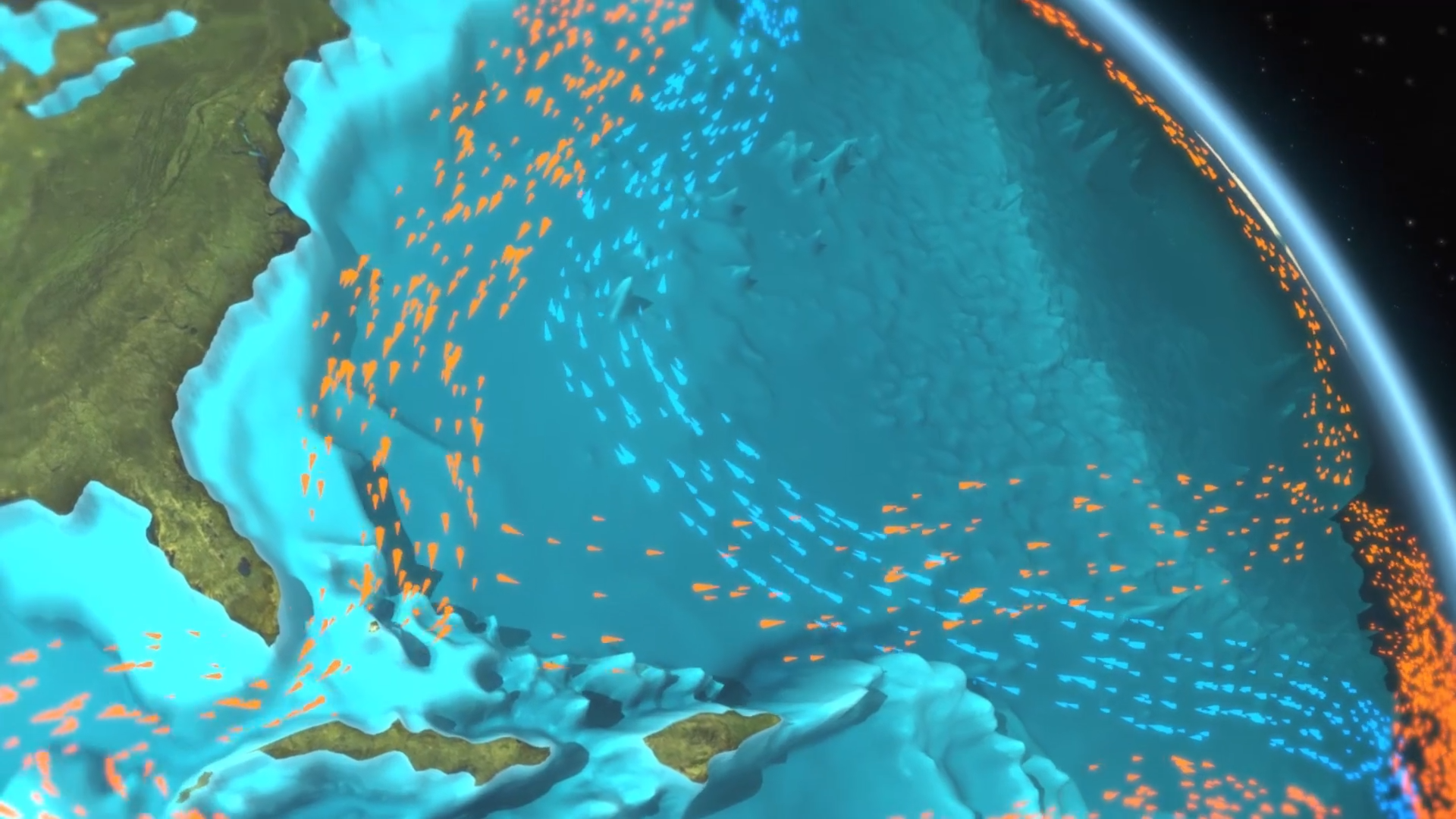
Additionally, remote sensing data is multimodal – for example we may have both optical and SAR data – so combining different data sources is a challenge in itself.
As well as this, in order to be fused with other data sources, the data needs to be geo-located, – which adds a further level of complication to the data fusion. In addition – we have to consider the fact that EO is time-dependent, and we may have to consider time as part of the data (for example, we might have multiple images from the same location). Therefore, AI is helping us to process a massive volume of multi-modal data.
Featured Educators
- Sara Aparicio
- Mauro Facchini
- Vincent-Henri Peuch
©
©
©
©

©

©

©
©
©