
Topic 4A - Introduction To Monitoring The Oceans
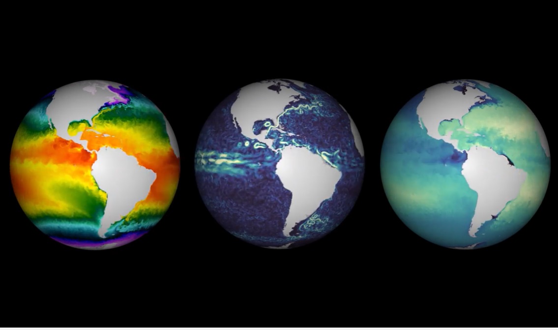
There are four sensors onboard the Sentinel satellites that are used for monitoring the oceans.
Three use radiometry – a set of techniques that measure electromagnetic radiation.
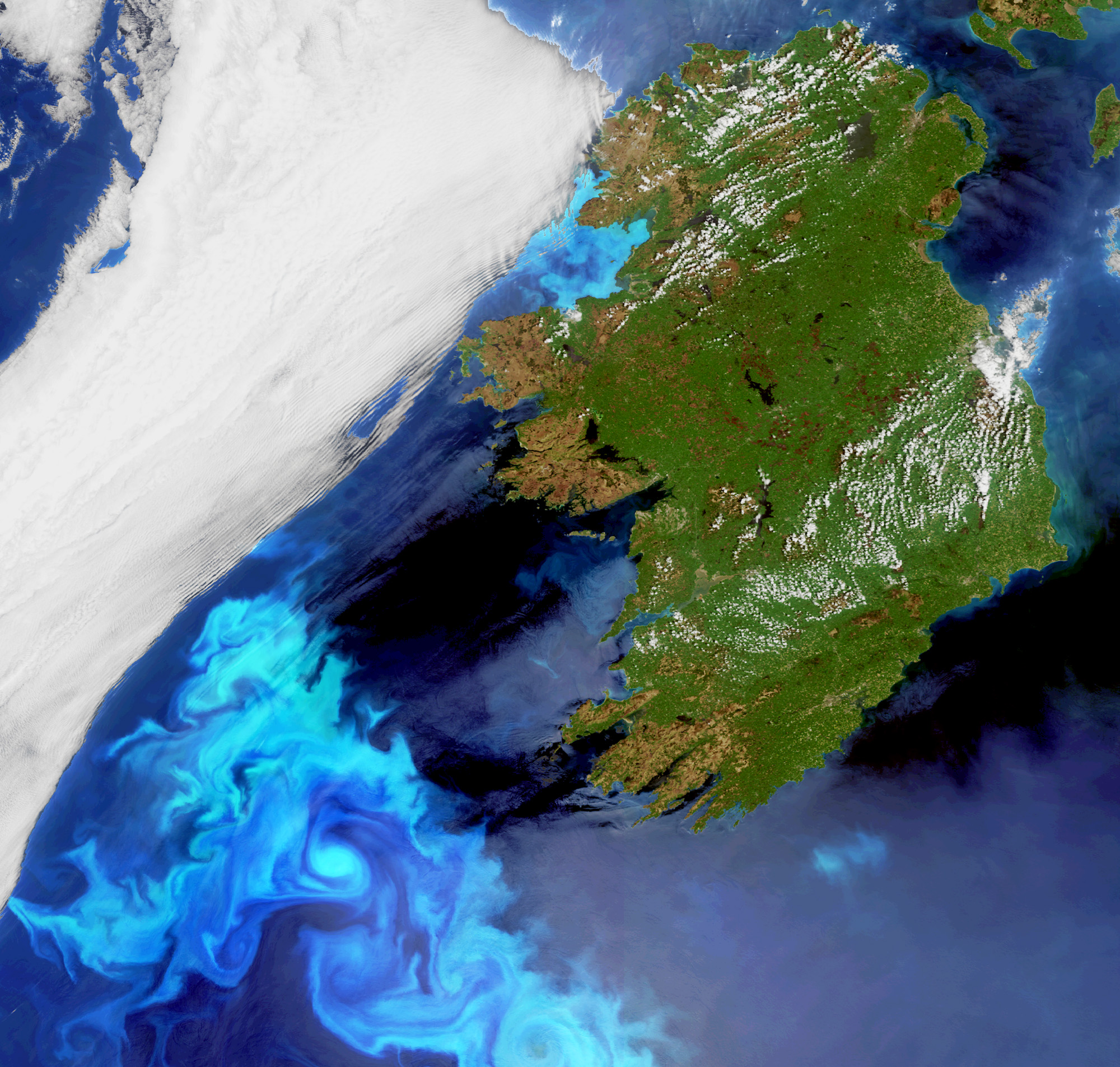
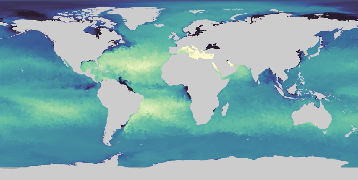
- OLCI on Sentinel-3 measures ocean colour
- MSI on Sentinel-2 measures ocean colour
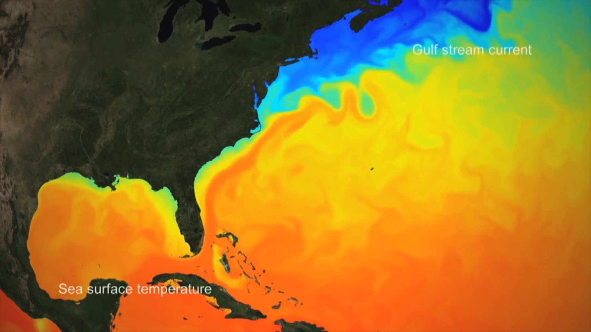
- SLSTR on Sentinel-3 measures temperature
One of the sensors uses altimetry – the study of measuring height or altitude
- SIRAL on Cryosat sends radar pulses to the earth’s surface and then reads the return echoes
These sensors provide oceanographers with a massive amount of data. AI can be used to translate this information into something that is actually useful for the decision-making process.
Getting in-situ data for the oceans is also difficult, as they are so vast. This means AI can be used to predict measurements that might be difficult to measure in situ. However, this can also pose problems, as we need the ground truth from the oceans in order to train the data in the first place. This is why in some cases; AI is used for data fusion between satellite data and in situ networks.
Featured Educators
- Laurence Crosnier
- Lauren Biermann
- Pierre Bahurel
- Hayley Evers-King TBC
©

©

©
©
©
©
©